
Company
A Geophysical Experience
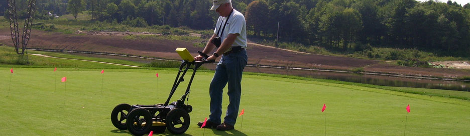
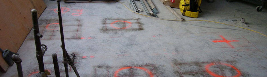
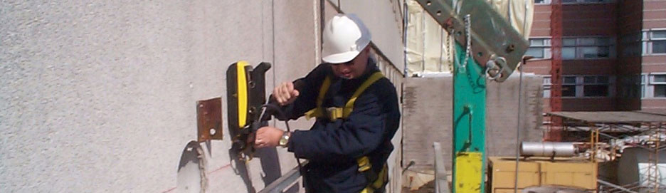
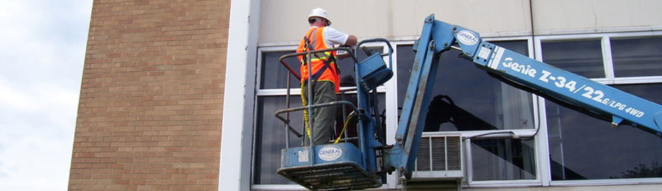
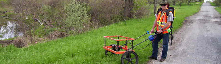
GeoSearches Inc. performs ground penetrating radar services, using sub-surface and concrete imaging solutions, as well as doing more complex investigations: eletromagnetics, electronic resistivity, seismic, gravity, magnetics, borehole logging, and MASW.
We work with general contractors, construction industry, government agencies, utility services, mining industry, environmental and engineering companies.
GeoSearches Inc was founded by Terence Hamill who brings nearly thirty years of experience to the company. As a geophysical specialist, Terence has acquired geophysical data in remote and urban locations throughout Europe, Africa, Middle East, the Far East, and the USA.
His experience and vast knowledge in geophysical data collection has brought him to companies such as Geosource, Halliburton and Schlumberger. His expertise as a Field Electronic Engineer, Data Processor through to Senior Management enables GeoSearches Inc to offer standards of consistency and quality and precision technology that will save contractors time and money in the field.
The mission of GeoSearches Inc is to provide non-intrusive and non-destructive surveys which reduce costs and delays in obtaining the ground penetrating radar and geophysical information needed for client projects.
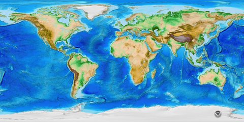
Where We Go
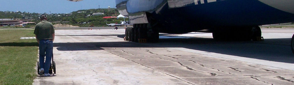
GeoSearches personnel have significant experience performing geophysical surveys for a wide variety of investigations across the United States and Worldwide. These sites have been situated in varying terrains, demanding climatic conditions and having many different types of subsurface conditions.
Consulting
Over 35 Years' Experience with a Seasoned Geophysical Consulting Firm
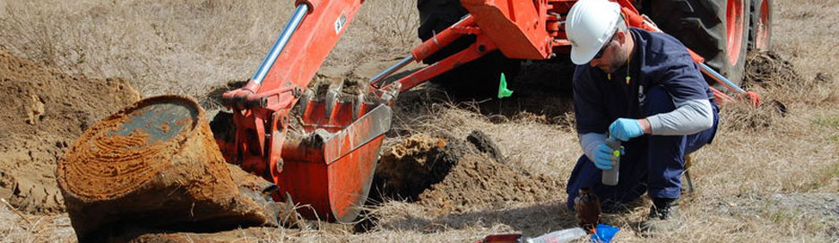
Many development projects are started without regard to the geophysical details of an area. GeoSearches, Inc. consulting services makes this step easy and beneficial to investigations for engineering, archaeology, groundwater and mining projects.
GeoSearches plans and designs geophysical surveys; supervises surveys to their successful completion; maintains the safety audit while surveys are in progress; and ensures the best possible quality for the survey method and survey conditions.
Consulting services also include: taking field data and reprocessing it into a usable form to aid geological interpretation; using state of the science 2D and 3D modeling software; modeling geological structures and the geometry of target bodies to assist the definition of drill targets and drill-hole design.
- Data Processing
- Geophysical Modeling
- Quality Control
- Survey Planning
- Survey Supervision
- Survey Safety Audit
- Report Writing
Contact us at 877-739-6346 in Chagrin Falls, Ohio, to speak with a geophysical specialist about our background in environmental surveys and imaging.