Resistivity
Use Electrical Resistivity For Site Assessments and Environmental Audits
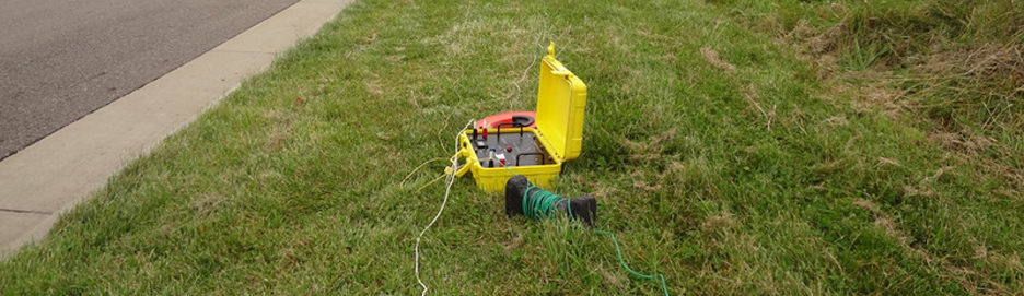
We determine electrical characteristics of subsurface areas due to changes in composition and contamination levels in soil, bedrock, and ground water.
As part of our deliverable for every project that we do is a detailed technical report of our findings. This deliverable ensures that you have written technical details to use throughout your project.
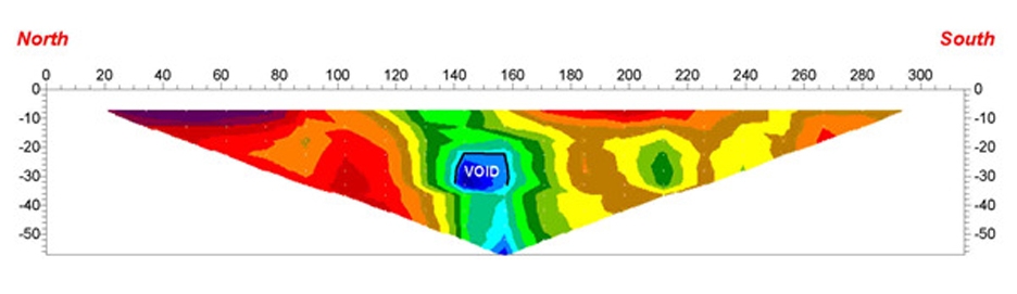
Electrical resistivity can determine the depth of the water table and indicate where contaminates are, as well as where faults and burdens lie in the ground below.
This method is an effective way to assess a site’s environment status and stability.
What is Electrical Resistivity?
Electrical resistivity is a geophysical technique for imaging sub-surfaces structures from electrical measurements made at the surface, or by electrodes in one or more boreholes. It is closely related to the medical imaging technique electrical impedance tomography (EIT), and mathematically is the same inverse problem. In contrast to medical EIT however ERT is essentially a direct current method. A related geophysical method, induced polarization, measures the transient response. The technique evolved from techniques of electrical prospecting that predate digital computers where layers or anomalies were sought.